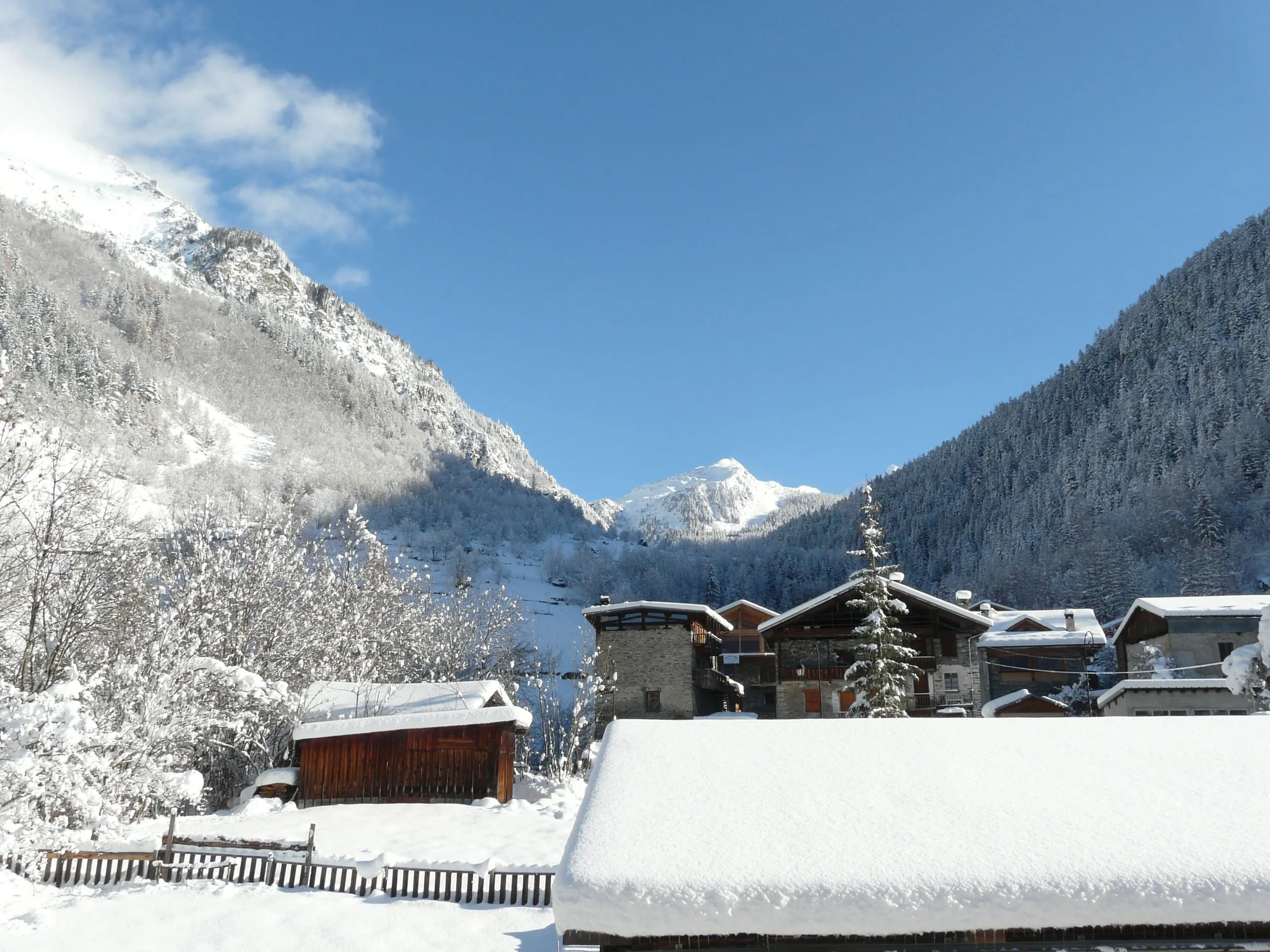
Location
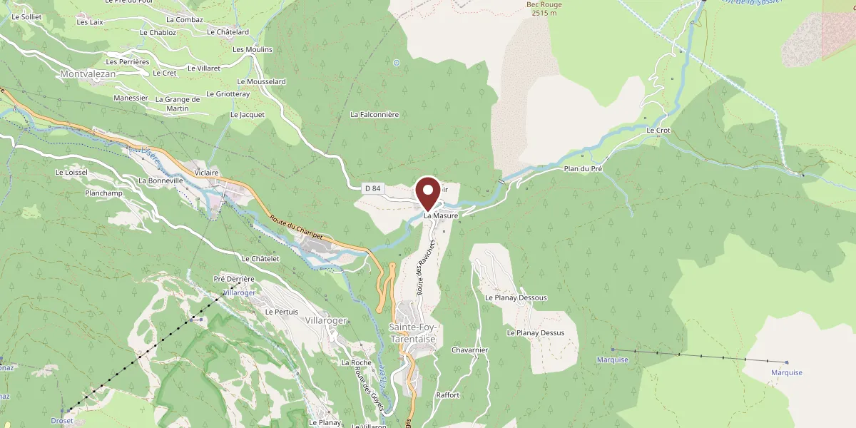
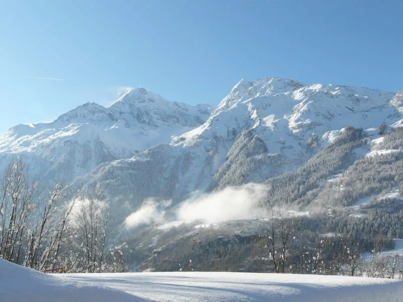
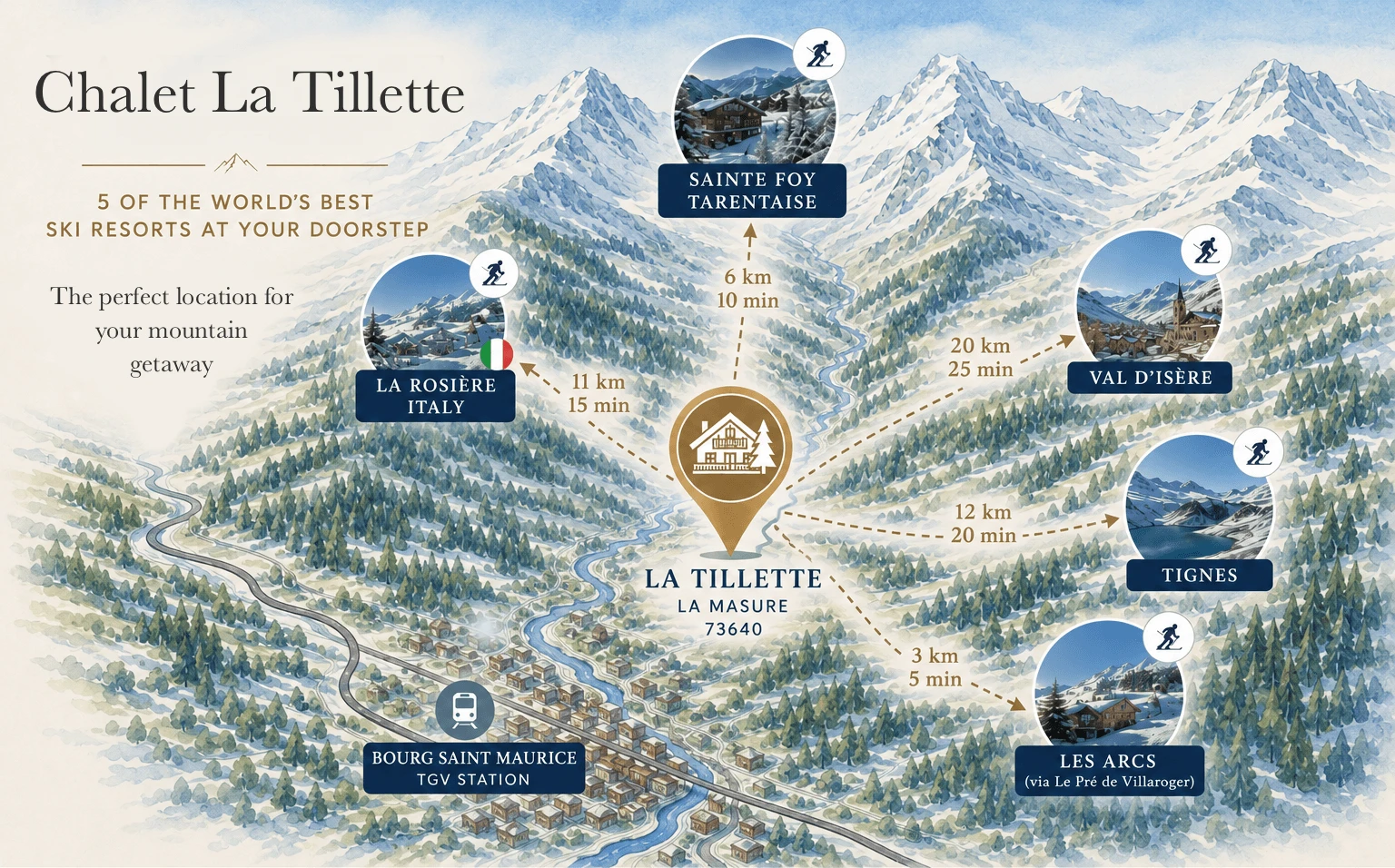
La Tillette is perfectly placed for quick and easy access to the slopes of Sainte Foy, Val d’Isere, Tignes, Les Arcs and La Rosiere.
Sainte Foy is just 6km away and is served by a free resort shuttle bus which stops just outside La Tillette, if required. Crowd-free and perfect for families with lovely sweeping, tree-lined greens and blues, plus more challenging reds. Sainte Foy is also a Mecca for powder hounds for whom the icing on the cake is that the best off-piste runs lead directly back to la Tillette’s front door!
Tignes les Brévières is 12 km away and Val d’Isère about 20 km, both an easy drive up the valley. These snow-sure resorts should need little introduction. For intermediate skiers upwards and a “must do” for the teenagers!
Les Arcs can be accessed via Le Pre de Villaroger, just 3km from La Tillette, or via the funicular at Bourg Saint Maurice (15 mins). Vast ski area that links to La Plagne .
La Rosiere (11km) is a simple 15 minutes’ drive from the chalet and is linked with Italian resort, La Thuile . A perfect choice for a sunny day’s skiing and lunch in Italy (blue run standard required)!
There is ample private car parking for guests at La Tillette.
Approximate distances from La Tillette:
- Sainte Foy: 6 km
- Les Arcs, from Le Pré de Villaroger: 3 km
- La Rosière: 11 km
- Tignes les Brévières: 12 km
- Val d’Isère: 20 km
All accessible by cleared, main road standard routes.
Sainte Foy is also accessible directly from la Tillette by the free resort shuttle bus.
Off-piste fanatics will be delighted to know that some of the very best off-piste routes in the whole of France actually finish at la Tillette’s front door! There is even a free shuttle bus back up to Sainte Foy’s lifts from just outside La Tillette!
 (opens in a new tab)